 |
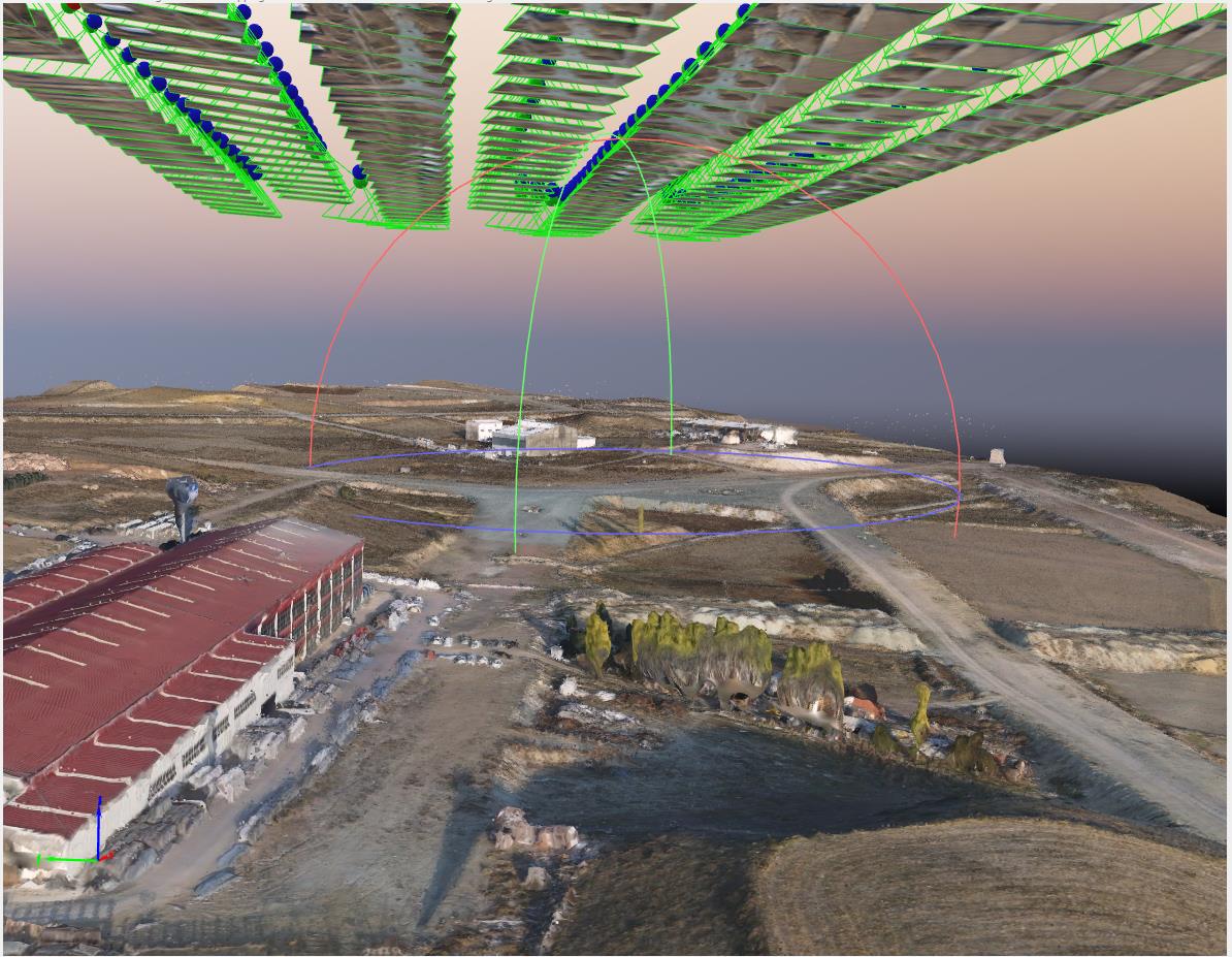
By using photogrometric methods in the world and in our country, the production of unmanned aerial vehicles used especially for mapping and three-dimensional earth modeling in public spaces and their applications with these aircraft can be carried out by our company. In addition, similar applications and volume calculations on the surface, etc. Evaluations with aerial images can be made by our company.
|